Colorado’s official symbols are easiest to appreciate when you tie them to real, driveable places: a grassland gateway city for the state bird, a mountain trail town for the state flower, and creek-corridor hiking for the state tree. Done this way, “symbols” stop being trivia and become a simple itinerary framework for anyone exploring Colorado.
Photo by Kait Herzog on Unsplash
Instead of treating these icons like a checklist, use them as a map to Colorado’s most distinctive landscapes. The state bird nudges you toward open prairie skies on the eastern side of the state, the state flower rewards summer hikes where meadows meet forest, and the state tree shows up most convincingly where water shapes the terrain—along shaded drainages, streambanks, and canyon bottoms. With just a little planning, you can build a trip (or a weekend) that feels like a tour of “real Colorado,” anchored by cities you can navigate easily and habitats that match what these symbols represent.
Steamboat Springs As Your High-Country Basecamp
Steamboat Springs makes sense as a symbol-spotting base because the town gives you quick access to three “Colorado” environments without turning the day into a major drive: an in-town river corridor, shaded creek drainages, and high-elevation meadows.
For an easy starting point, the Yampa River Core Trail runs through town along the Yampa River and is described locally as a paved route of about 7.5 miles—ideal for getting a feel for the landscape while staying close to cafés, parking, and neighborhoods.
From there, you can connect the symbols to places that actually fit their habitats. Fish Creek Falls is a straightforward nearby drainage (the Forest Service directions describe a short drive out of town to the trailhead), and that kind of cooler, shaded, water-shaped terrain is where blue spruce is most believable as a “state tree” spotting goal.
For the state flower, Rabbit Ears Pass is the cleanest near-town high-country pick: local Steamboat guidance points to the pass and its meadows for wildflower viewing, and the Forest Service notes it’s reached by driving roughly 19 miles southeast from Steamboat Springs on Highway 40.
If you’re also thinking about moving, this is where Steamboat’s lifestyle pitch lines up with the symbols: you can live close to the corridors you’d actually use. That’s why you’ll see townhome options in Steamboat Springs framed around access to trails and open space—one example is a modern luxury townhome development described in the Wildhorse Meadows area.
State Bird: Lark Bunting - Pair It With Fort Collins Or Greeley
Colorado’s state bird is the Lark bunting, designated in 1931.
The most honest “nearest city” framing is that lark bunting viewing is typically a plains/grassland play, not an alpine one, so you anchor it to gateway cities that make the prairie easy.
The strongest city-to-habitat match is Pawnee National Grassland, which the U.S. Forest Service places 35 miles east of Fort Collins and 25 miles northeast of Greeley. That one sentence is basically your itinerary: base in either city, drive out for big-sky shortgrass country, and you’re in the right landscape for the state bird’s seasonal presence on the plains.
After mountain meadows and creek corridors, the grassland trip feels like a different Colorado—huge horizons, wind-swept prairie, and bird activity that rewards patience more than mileage.
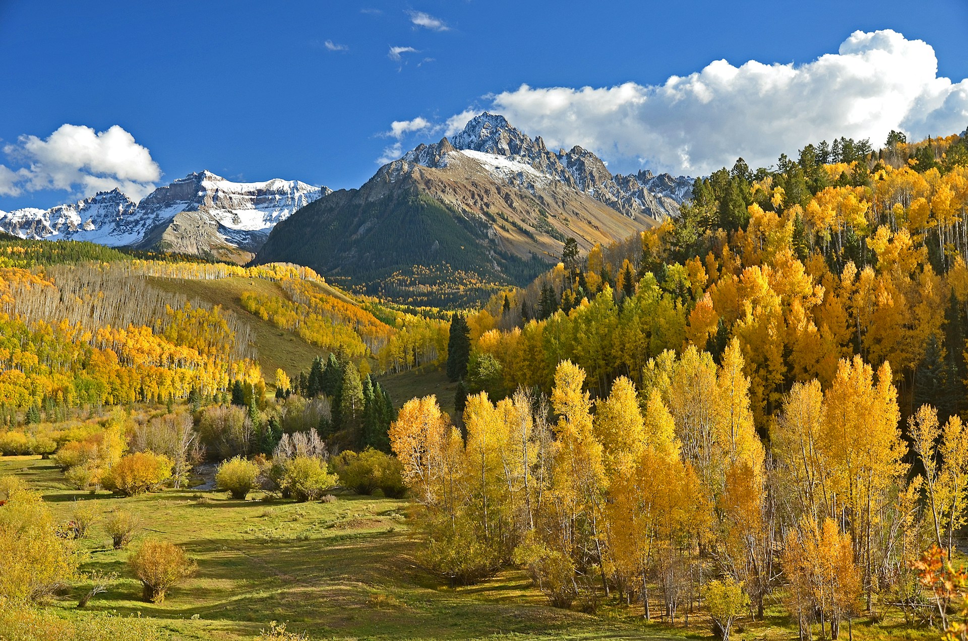
Photo by Thomas Morse on Unsplash
State Flower: Rocky Mountain Columbine - Pair It With Estes Park, Grand Lake, And Crested Butte
Colorado’s state flower is the Rocky Mountain columbine, adopted in 1899.
Habitat is what makes this symbol “high country friendly.” The U.S. Forest Service describes the columbine as occurring across the Rocky Mountains from foothills to alpine areas, commonly in aspen groves, open forests, meadows, and talus slopes—exactly the environments people hike in summer.
If you want the simplest gateway city pairing, use Estes Park as your base and head into Rocky Mountain National Park, which the National Park Service notes is home to over 900 species of wildflowers—a strong signal that you’re in the right kind of landscape for columbine season.
For a quieter west-side gateway, Grand Lake provides access to the park’s west side via Trail Ridge Road in season, keeping the same montane-to-alpine wildflower logic but shifting the base town.
If you want a second “wildflower town” reference that’s culturally established (not just scenic), Crested Butte has an annual wildflower festival each July with workshops and guided programming—useful when you’re writing a symbols piece that wants credible, place-based hooks beyond one national park.
A natural way to connect this to cities: encourage readers to pick one base town, then do two short hikes—one that cuts meadow-to-forest edge, and one that follows a rocky, well-drained slope. That mirrors the columbine’s common settings and keeps the day feeling like exploration, not a scavenger hunt.
State Tree: Colorado Blue Spruce - Pair It With Colorado Springs And Riparian Mountain Towns
Colorado’s state tree is the Colorado blue spruce, officially adopted in 1939 (after an earlier school-children vote).
For “best places to spot it,” the most reliable guidance is habitat-driven. The USDA plant guide says blue spruce commonly occurs on stream banks in moist canyon bottoms (one reason it’s sometimes called “water spruce”). The Forest Service’s FEIS profile similarly emphasizes that blue spruce is restricted to moist sites where water is close to the surface, including montane streambanks and well-drained floodplains. In practical terms, that means your best city-to-symbol link is any mountain town where you can hike along creeks and shaded drainages—because that’s where the tree tends to show up naturally.
How to make this feel easy for readers: instead of trying to identify every evergreen from a roadside pull-off, tell them to “follow water.” If a trail parallels a creek, crosses ravines, or runs through a cool canyon bottom, it’s automatically a better blue-spruce candidate route than a sunny, dry hillside path.
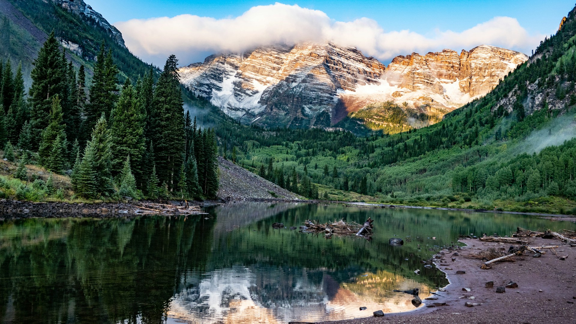
Photo by Rich Martello on Unsplash
Wrapping Up
Colorado’s symbols land best when you experience them in the landscapes that shaped them. Base in Steamboat Springs for high-country meadows and creek corridors, then add a plains day near Fort Collins or Greeley to put the lark bunting in its proper habitat.
Use Estes Park or Grand Lake to turn columbines into a summer trail reward, and keep your blue-spruce searches focused on shaded drainages and streamside paths. The point isn’t to “collect” symbols—it’s to let them guide smarter routes, better timing, and a deeper sense of place. Bring binoculars, move slowly, and leave the blooms untouched always.